McBride Slough Spring
Wakulla
Summary of Features
- Scale - 3rd magnitude (estimated)
- Scenery - good
- How Pristine? - unspoiled; small dock/beach area, some land cleared west of spring
- Swimming - fair
- Protection - unknown/private

Directions
Quick Directions
2.5 miles east of intersection of State Roads 61 and 267 about 30 minutes' drive south of Tallahassee.
Full Directions
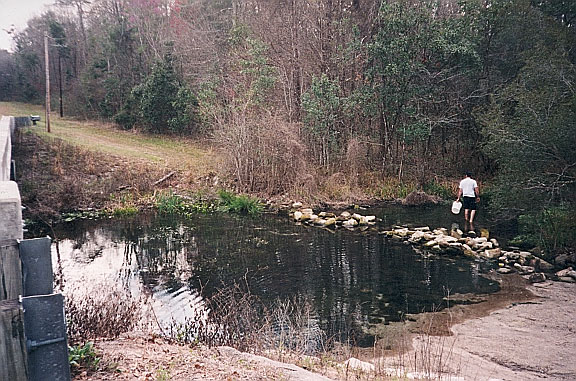
From downtown Tallahassee, drive south on South Adams until it becomes Crawfordville Highway (US 319 South). Continue past Capital Circle until the road forks to the left and forms Wakulla Springs Road (State Road 61). Continue on through portions of the Apalachicola National Forest until you come to State Road 267. Turn left and drive about 2.5 miles until you reach a small bridge that goes over the slough. The spring pool is about 150 feet upstream from the bridge on the left (west) side.
Spring Description
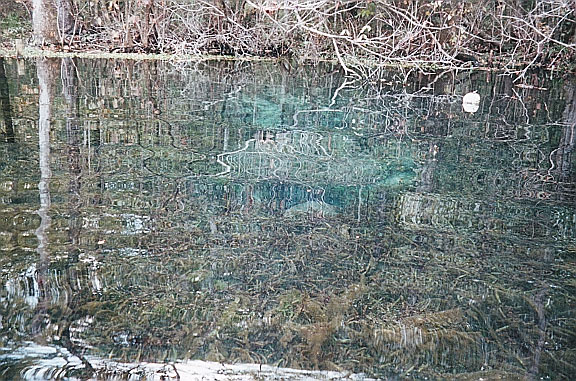
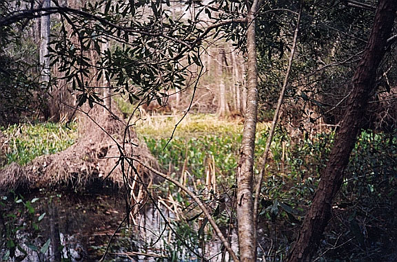
McBride is a spring upwelling that feeds (or perhaps forms?) a swampy flow that joins with the Wakulla River in Wakulla Springs State Park to the south. The headspring pool is circular and approximately 45 feet in diameter. The bottom of the pool is covered in eelgrass except for the vent. Except over the vent, the pool is 2-3 feet deep. The water is very clear, with a bluish tinge over the vent. The spring issues from two holes about a yard apart; this is actually a single tube with a large rock at the opening that splits the flow. The land on the west side of the spring has been cleared of underbrush, and there is a small dock/platform in the SW corner of the pool. Water flows south from the pool, but there is also water above the spring. The run is also 2-3 feet deep near the spring, and was densely covered with a variety of vegetation on date of visit (October 2000).
Use/Access
- The spring is on private property and, a dirt road leading to the spring just west of the bridge is posted. The authors viewed the spring from the east side of the slough, and then JF waded across the slough to look into the spring without trespassing.
- Before being posted, the site was a popular local hangout and swimmin’ hole. A that time, the bottom was sandy from human use and erosion. Someone who swam in the spring at that time described the vent as follows: "It is relatively easy to swim in one hole and out the other. Pause while down there and look down; as your eyes adjust you can see down the tube, which is just big enough for one person to pass. What you can see is limited by available light" (J. Clark, oral communication, Feb. 2000).
- The slough area around the bridge is a fairly popular spot for local residents to wade, picnic, and hang out. There is trash and broken glass on the site.
- At the bridge just downstream from the spring, human use has eroded the banks, and the local folk—who cannot afford or are not interested in paying $6 to visit Wakulla Springs next door—are not all friendly--or perhaps just did not like JF's looks.
- The authors do not recommend wading across the slough as JF did to view the spring, even though he was not trespassing. The bottom was mucky, the central part of the slough was thick with vegetation, underwater visibility was nonexistent, and JF got a rash for his trouble. A tree across the slough from the spring provided a tolerable view if you are willing to shimmy up into it.
Nearby Springs
- Indian Springs
- Kini Spring
- Newport Spring
- Riversink Spring
- Sally Ward Spring
- Wakulla Springs
Other Nearby Natural Features
- Leon County Sinks Park
- Apalachicola National Forest
- Wakulla Spring State Park
- St. Marks National Wildlife Refuge


