Mission/Roaring/Fig/Singing Springs
(on the Ichetucknee)
Columbia County
Summary of Features
- Scale -2nd magnitude
- Scenery -excellent
- How Pristine? -very unspoiled
- Swimming -no
- Protection -excellent
- Crowds -none
- Access -restricted, only two flows are accessible and only through strenuous effort
- Facilities -none at spring; fine nearby in state park
- Safety -very good
- Scuba -no
- Cost -varies by use--see Use/Access below
Directions (address: 12087 SW U.S. Highway 27 Fort White, FL 32038 (386) 497-4690)
From Branford, drive SE on U.S. 27 for about 10 miles. Turn north (left) at park sign onto State Road 137. Take first paved road on the right (State Road 238) to the park entrance on the right. Put in canoe at launch. The springs are on the perimeter of an island that is about 1,500 feet downstream (about a 5-minute paddle) from Blue Hole Spring on the same (left or east) side.
Spring Description
- The NW portion of the island run (location of springs/spring groups 1-4) is posted as "Restricted," although the level of restriction is not defined. The authors convinced themselves that the sign was meant for tubers and not canoers, but they later learned that they should not have gone behind the island to Roaring and Singing Springs.
- Access to Spring 5 directly from the river is blocked by eel grass and other vegetation, which is very thick even in winter. JF was able to canoe over to the springs, but only by using maximum effort.
- This spring is one of a series of springs that form the Ichetucknee River. Altogether, the springs discharge an average of over 230 million gallons of water per day.
- Park fees are as follows: $6 per vehicle (up to 8 people per vehicle, and no river use/tubing/canoeing); $4 for single car occupant; $4 for 1 – 2 persons on a motorcycle; $2 for pedestrians, bicyclists, and people with annual entrance permits; The cost for tram service is $5.00 plus tax per person. The cost for shuttle service is $7.00 plus tax per person which also includes tram service. Tram and shuttle tickets and wrist bands are purchased at the concession facility adjacent to the parking lot at the South Entrance of the park.
- There is a nature trail along part of the spring run just below Ichetucknee Spring at the canoe/tube put-in on the west side.
- Tubing at the park can be done from three locations: North end (3 hours). Mid-point ( 1.5 hours), and Dampier's LAnding (1 hour). The peak tubing season is from Memorial Day to Labor Day. A shuttle service ferries tubers from the parking area to the river and back from Memorial Day to Labor Day. Tubes must be obtained outside the park. Tubing is in the river and not in the springs.
- The park includes bathrooms and picnic facilities, and a concession stand at the south entrance.
- A citizen support organization, the Friends of Ichetucknee Springs, Inc., has been established to support Ichetucnkee Springs and its watershed. For more information, see www.floridastateparks.org/content/friends-ichetucknee-springs-state-park.
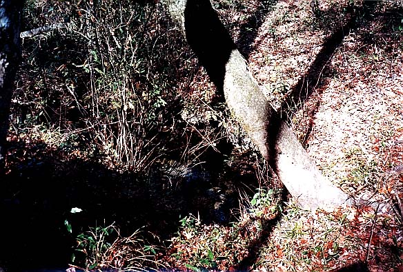
This is a series of springs along the edges of and across from Fig Island, which is peanut-shell-shaped and 1-2 acres in size. Most of the springs are in the back, SE corner of the island. Flows from these springs go NW and SW around the island to the Ichetucknee River, with most of the flow to the NW. The other springs are in a small alcove on the opposite (river) side of the island. The springs are divided into five groups for purposes of description, based on their locations and flow characteristics and numbered on the graphic below. The springs grouped under numbers 2-4 are lumped together as Singing Springs in Rosenau et al. (1977, p. 102). Note: the authors have not found any published description of the springs described under "Spring 5 pair" below.
Spring 1 (Roaring Spring)
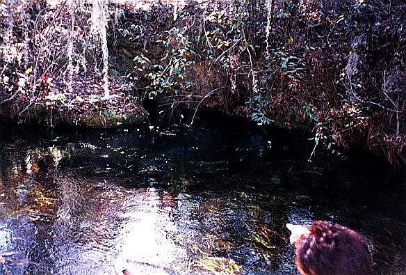
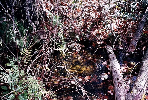
Water flows from a limestone vent beneath the surface at the base of the limestone bank near the SE corner of the island. A boulder perhaps 10 by 12 feet has calved off the bank in front of the vent, splitting the flow of the spring. Water flows powerfully around the boulder and creates a strong current. The depth of vent could not be determined. The water is clear and flows NW to the river in the primary run around the island. The strong flow from the spring may have undermined the adjacent island bank, causing the boulder to break off from the island and slide onto the spring itself. Springs of Florida (Rosenau et al., p. 102), describes the spring as emerging from beneath the island's rock face. This suggests the boulder has calved off since the 1977 publication of that document. The run is 1-4 feet deep and 20-30 feet wide. There was water lettuce and other vegetation in the run.
Spring 2 (Singing Springs)
Across from Roaring Spring above and a few feet further south, this small spring is on the bank of the mainland. Water flows from a small oval indentation in the bank approximately 3 by 5 feet, directly into the NW run around the island. Water flows from a limestone opening.
Spring 3 (Singing Springs)
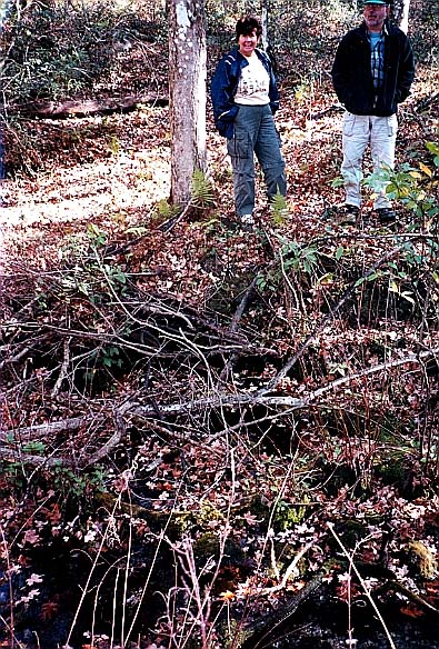
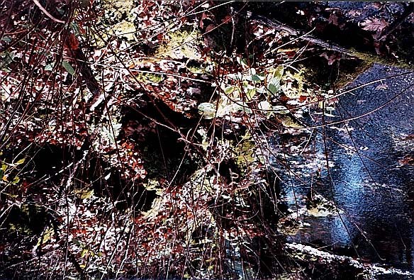
Also on the mainland across from and about 40 feet SE of Spring #1 (of Roaring Spring) and 30 feet south of Spring 2 above. The spring forms a small grotto on the bank with water flowing out the bottom. The oval indentation in the bank is about twice the size of that at Spring #2. This spring is just before the curving edge of land across from the extreme SE tip of Fig Island. Water from this spring flows both NW and SW around the island.
Spring 4 group (Singing Springs)
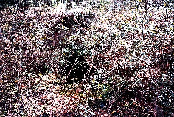
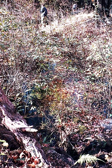
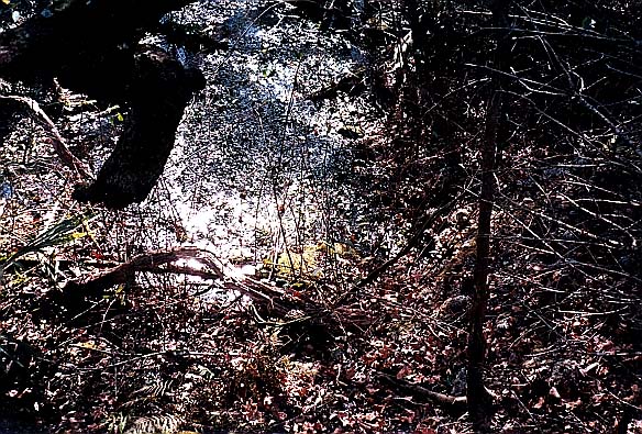
Beginning 6-10 feet south of Spring 3, where the corners of the mainland and Fig Island meet, is a series of small flows at the base of the bank and at the base of Fig Island. The first and largest flow area is perhaps 5 feet wide and immediately south of Spring 3. The next two small flows are directly across from each other, 10-15 feet south, at the narrowest point of water between the island and the mainland (about 5 feet across December 2000). Another flow was visible at the base of the bank on the island another 20-25 feet to the SW. These flows are either only an inch or two deep, or create small upwellings from the crevices that issue them. Water from these springs flows SW around the island. This SW run is not passable by canoe due to obstructions, aquatic vegetation, and the shallowness of the run.
Spring 5 pair
Two boils well up from the base of the limestone bank on the west side of the island (facing the river). The boils are about three feet apart and two feet from the bank. The water is clear and about 4 feet deep.
Springs 1 (Boiling) and 5 appeared to have the greatest flows, followed by that from the Singing Springs group. The area around the springs is rolling karst terrain and is densely forested. In warm weather, the run around the island is effectively blocked by vegetation. There is rich vegetation even in the winter.
Use/Access
Springiana
- According to Rosenau et al (1977, p. 102) and Scalpone (1994, p. 41), there was a Spanish Mission located near these springs circa 1670.
Personal Impressions
The authors' delight in finding these various springs (up to 9, depending on how they are counted) was tempered by the concern--later confirmed--that they had trespassed in a restricted area in order to do so. Roaring Spring was by far the most powerful and impressive of the springs around Fig Island.
Nearby Springs
- Blue Hole Spring
- Cedar Head Spring
- Ichetucknee Spring
- Devil's Eye Springs
- Grassy Hole Spring
- Mill Pond Spring
- Coffee Spring
Other Nearby Natural Features
- Ichetucknee Springs State Park
- O’Leno State Park
- San Felasco Hammock State Preserve
- Devil’s Millhopper State Geologic Site
- River Rise State Preserve
